Blog
Regional variation in land use in England – implications for Land Use for Net Zero
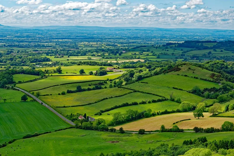
Credit: 3Keel
England’s landscape is a mosaic. From different farming systems and semi natural habitats alongside urban areas and infrastructure, our countryside is diverse and fragmented due to historical and ongoing land management practices combined with natural variations in geology and topography.
There is considerable regional variation to this mosaic. For example, extensive blanket bog is found in some upland areas whereas in the lowlands peatlands may be found in small pockets in valley bottoms or more extensive low-lying areas. Agriculture also reflects soil and climate with regional variations from major arable farming in the East of England, fruit growing in the Southeast to sheep farming in the uplands of the North and West to dairy farming in the Southwest. Woodland tends to be found in areas that were less profitable to clear for agriculture and varies greatly with the highest cover in Surrey and the lowest in parts of Lincolnshire. These distinct regional landscapes have different roles to play in the transition to net zero influencing both emissions sources and the potential for carbon sequestration.
The LUNZ Hub England Team will explore how regional variation can be accounted for as part of research and policy making for net zero, nature and people. For example, the Net Zero Futures Platform is co-designing pathways on how to transform land use for each of the four nations of the UK. It is important to understand how these scenarios can be translated into action on the ground in different places and “what works best where”.
We are fortunate within England to have a wide range of information sources to help us consider regional variability. For example, the National Character Areas divide England into 159 distinct areas based on a combination of landscape, biodiversity, geodiversity, history and cultural and economic activity. Natural England’s recently published Nature Net Zero (NNZ) research seeks to identify the habitats and geographical locations that are most likely to make the best return on investment to increase carbon storage in nature rich habitats. The Climate Change Committee (CCC) also published a set of baseline archetypes that are representative of current rural land-use and land-management in England and each of the devolved administrations. Additional data sources include regional agricultural factsheets, regional agricultural land classification maps and LandIS Soil Data. The UK Centre for Ecology and Hydrology have also recently updated their land cover maps to show how land cover varies between different parts of the UK including at a county and regional level.
How does the Land Use Framework fit in?
England’s Land Use Framework (LUF), is due for publication in the next few months. The consultation for the LUF proposed reallocating around 10% of farmland by mid‑century towards land use for environmental and climate benefits, such as restoration of peatland and woodland creation. A further 5% would shift to less intensive farming to provide environmental and climate benefits. This approach — particularly in uplands and flood‑prone areas — aligns with ambitious tree‑planting (to 16.5% forest cover by 2050) and habitat restoration targets including peatland rewetting.
Where these changes happen will be a key element for success and there will be trade-offs in what makes sense to do what where. For example, by avoiding land use change on the best agricultural land. This is also linked to place delivery, for example through Local Nature Recovery Strategies to ensure any change makes sense in the local context. The Land Use Framework can align local actions with national ambitions by coordinating the Nature recovery tools at our disposal.
Subscribe to our Newsletter
A quarterly update of all LUNZ Hub activities, events and news stories.